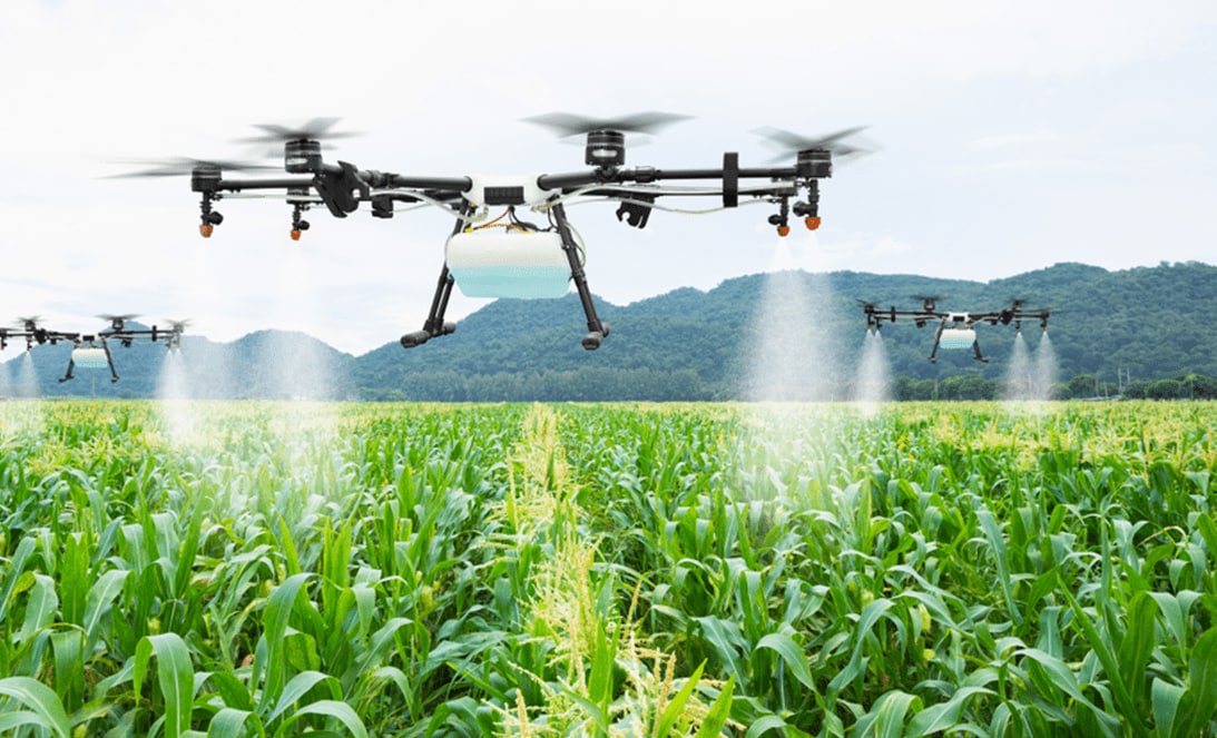
Agriculture drones are devices that can carry out accurate and efficient imaging, monitoring and sensing tasks for agricultural purposes. The use of unmanned aerial vehicles (UAV) or unmanned aerial systems (UAS), have been useful in inspecting crops from a remote areas. A big issue facing farmers today it the accuracy of crop management decisions due to time restraints which leads to missed opportunities or poor choices because more information is needed before a decision can be made. UAV’s provide a more cost effective means of collecting imagery data so that farmers have better insight on their land allowing them to make better decisions.
The use of Agriculture Drone has become increasingly popular recently with global sales reaching an all-time high. Not only does this method save farmers time, but it also increases the accuracy of crop management decisions. Despite these benefits, there are still some challenges to using these drones which can be addressed by future advancements in technology. This is why many companies like Precision Hawk are continuing research and development on technologies needed for drones to become more fully integrated with agriculture systems.
UAV Imaging has shown to help farmers make informed decision when managing their land. Before the use of drones, images would have to be taken by hand or physically flown over an area that needs inspection. These methods require much more human involvement than if a drone was used to take the same image. By integrating UAV’s into agricultural practices it has allowed for data collection that cannot happen without the use of a drone.
The following are some examples of how UAV’s have been used to evaluate and inspect crops:
Farmers want to know which areas on their land need attention so they can maximize yield while keeping costs down. One way to do this is by using NDVI (Normalized Differential Vegetation Index). This technology measures the amount of green vegetation in an image and compares it against the infrared spectrum. The resulting output is a map showing how healthy plant life is throughout the area. Farmers can then see where they need to pay more attention, saving them time and money in managing their crops.
Another important factor when looking at crops are changes that may happen year-to-year or season-to-season. Being able to monitor what is going on with your crops for example, if a certain area needs more nitrogen, phosphorus or potassium during a growing season helps farmers apply the right amount of fertilizer which will increase their yield and save them money. A drone can be programmed to fly over an area and collect NDVI images throughout each season so that you can see how conditions change and adjust as needed.
This technology also allows farmers to see where weeds are popping up in between crop rows for early detection and treatment before they become unmanageable. Knowing the location of problem areas makes it easier for farmers to target those areas with herbicides or other treatments they may need rather than having to spray everything all at once which could lead to unwanted chemicals ending up in your food.
Not only can these drones be used to inspect crops, but they are also useful when it comes to pest management. By using thermal imagery a drone can provide accurate counts of insects in a given area which helps farmers make better decisions for treatment and timeframes. This allows the farmer to save money on chemicals that may not be needed while ensuring that an infestation is properly managed.


